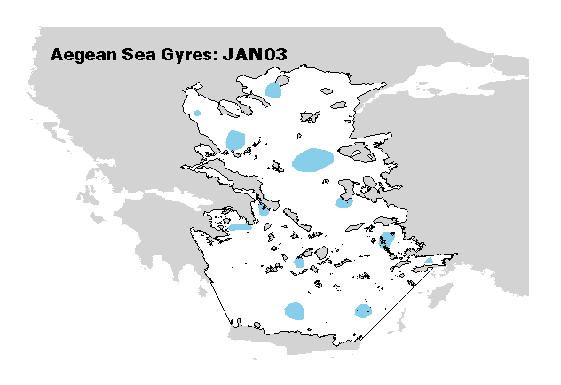
Animated image shows preliminary results on the spatiotemporal distribution of small transient gyre formations in the Aegean Sea (East Mediterranean).
The main gyre identification GIS method includes appropriate interpolation and contouring of Sea Level Anomaly (SLA) data
derived from merged altimetry satellite images (Topex-Poseidon, ERS1/2, Jason1 and Envisat).
Colors describe gyre formations characterized by positive mean SLA (blue) and negative mean SLA (red).
The goal of this mapping effort is to identify productive gyre formations that often function as species feeding, nursery or spawning regions.