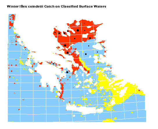
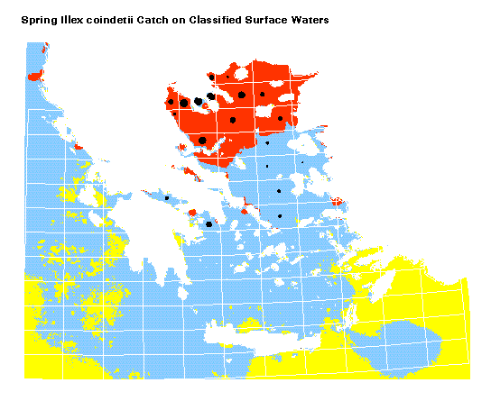
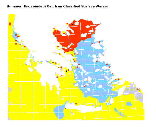
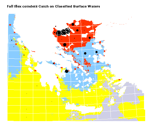
These GIS maps were produced by integrating species catch data on an unsupervised classification of surface waters
based on their content in Chl-a, SST, and salinity.