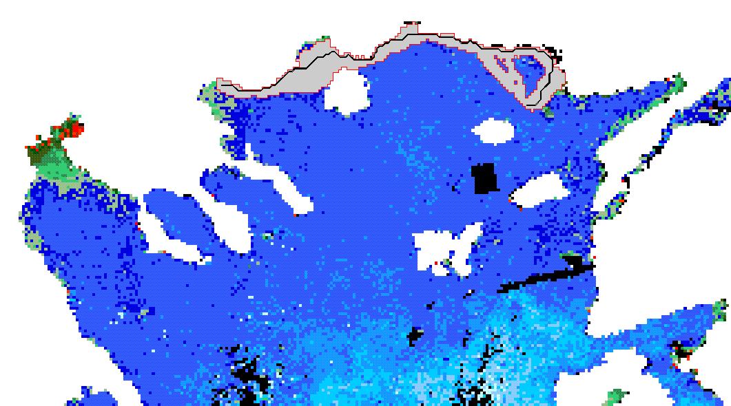
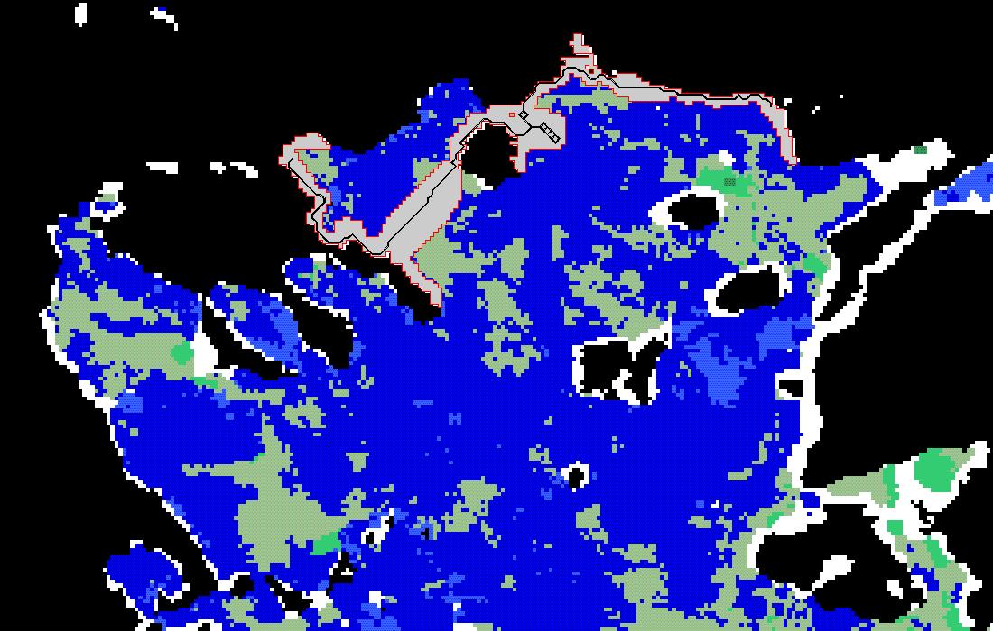
These GIS maps were produced by integrating species life-history data on migration habbits,
bathymetry, AVHRR SST and SeaWiFS Chl-a imagery through a GIS-based migration model.
Migration paths and corridors are modelled between spawning grounds and major catch areas.
These images show model output for Illex coindetii and Loligo vulgaris in North Aegean Sea
(SE Mediterranean).
Above:Chl-a image - Below:SST image