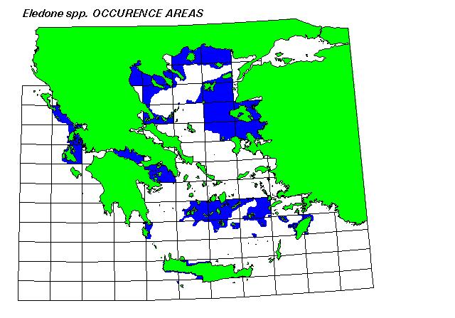
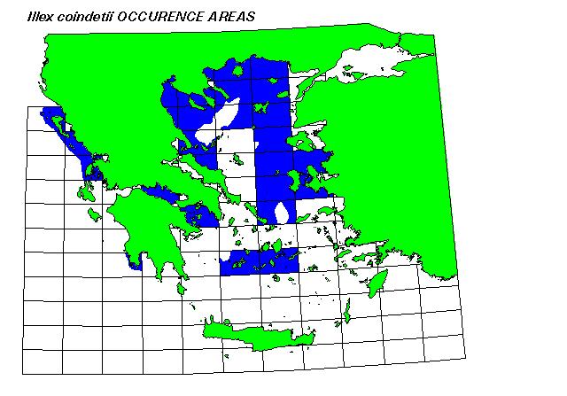
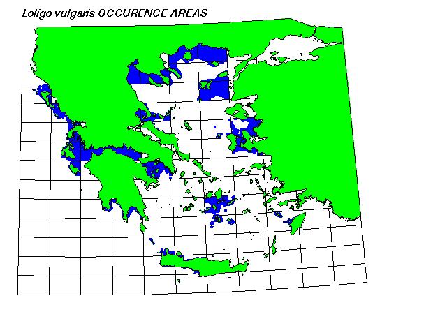
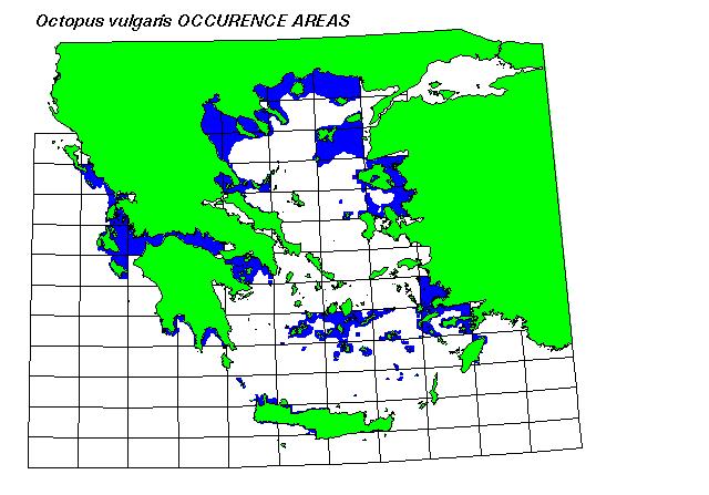
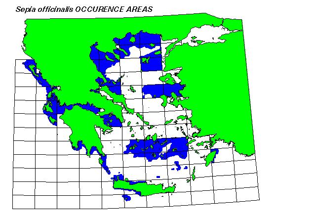
These GIS maps were produced by integrating species catch data,
bathymetry, and species life-history data on maximum depth of occurence.