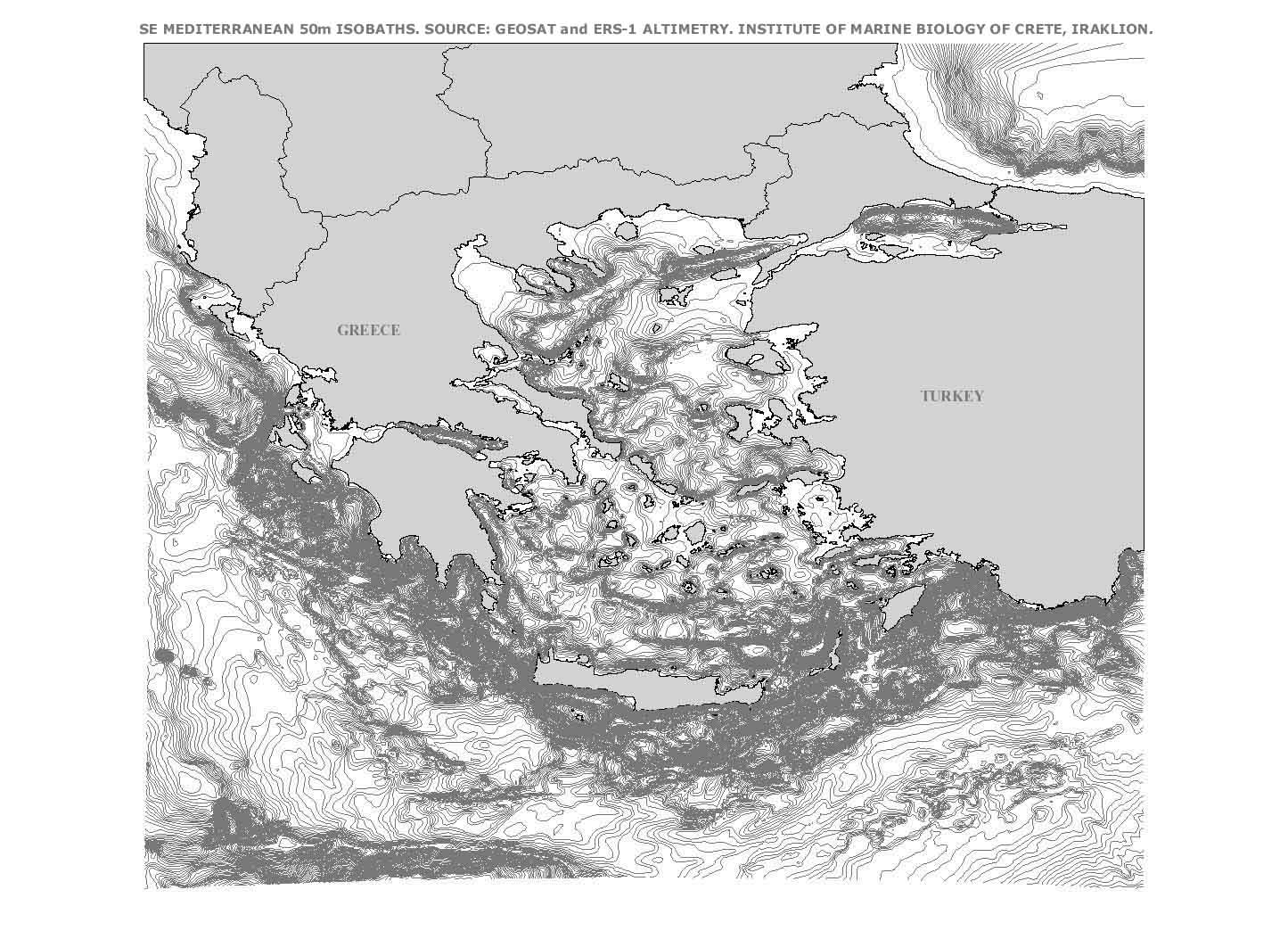

SE MEDITERRANEAN BATHYMETRY FROM SATELLITE ALTIMETERS
The 50m-interval isobaths presented here are calculated from point data derived from a blending of depth soundings collected from ships with detailed gravity anomaly information
Point data was obtained from the NOAA Office of Research and Applications, Oceanic Research and Applications Division, Laboratory for Satellite Altimetry
The related publication on the original point dataset is:
Click on the image above for a larger view.
The electronic dataset is an ARC/INFO line cover and is available through the downloads section.
obtained from the Geosat
and ERS-1 satellite altimetry missions.
through the lab's bathymetry data extraction website.
Smith, Walter H.F., and David T. Sandwell, "Global Sea Floor Topography from Satellite Altimetry and Ship Depth Soundings", Science, 277, 1956-1962, 1997.