
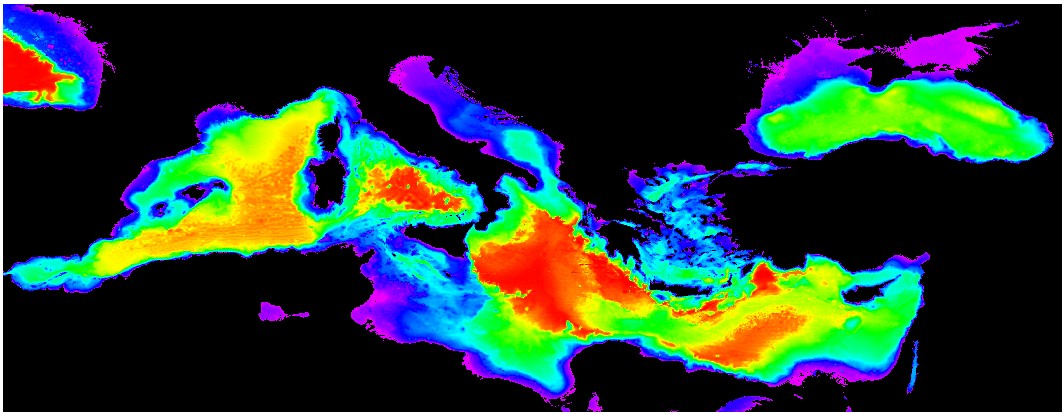
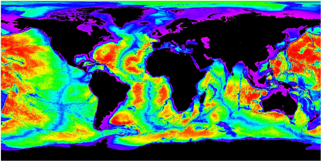
The GEBCO_08 Grid: a global 30 arc-second grid (~0.8km)
British Oceanographic Data Centre (BODC)
Data provided here are in ArcGIS GRID export interchange file format (e00).
Files need to be uncompressed and imported into ArcGIS as grids.
For example: (Arc: import grid filename.e00 gridname)
Other formats are available (e.g. lat,lon,dep), drop an mail.
Click on images for larger view

zipped ArcGIS e00 file |
zipped ArcGIS e00 file |
send a message for the world file |